Mapping Ocean Wealth

The Mapping Ocean Wealth project brings together some of Victoria’s best marine researchers from The Nature Conservancy and Deakin University, together with the Victorian Government, recreational fishers and conservation groups, to put an economic value on the benefits provided by important marine habitats including saltmarshes, mangroves and seagrasses.
These habitats are extreme ecosystems. Through the Mapping Ocean Wealth project we can gain a far more comprehensive understanding of the benefits we derive from the bays’ environment.
Key facts:
- Coastal protection: saltmarshes and mangroves can reduce the impact of ocean swell, wind, and storm surge by up to 66% (measured across 100m of habitat), and their structure helps to prevent erosion.
- Coral reefs reduce 97% of wave energy, acting as a barrier from storms.
- Carbon storage: in Port Phillip Bay and Western Port, researchers took sediment cores in saltmarshes, mangroves and seagrasses and calculated a dollar value per hectare across these “blue carbon” habitats. See case study on blue carbon.
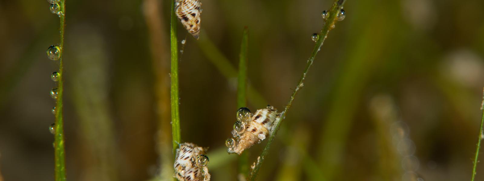
- Fish production: The Mapping Ocean Wealth team looked at the amounts of commercially important fish species (for example, King George whiting) occurring in seagrass compared to areas without seagrass . From this they have estimated the amount of fish (measured in kilograms) that a hectare of seagrass produces per year.
The project’s researchers will begin work to determine the recreational value of the marine areas and continue to expand on their knowledge so that new maps and valuations can be made.
To stay up to date with the Mapping Ocean Wealth project visit: